Day 2: Bridalveil -> Cloud's Rest Jct.
/15 Miles / Ascent +4,042 feet / Descent -3,494 feet
Taft Point, Yosemite
Yeah, I lost my spork.
My ONLY spork. First night.
I planned this trip, supplied everyone with lists of items to bring, what they should weigh, how big they should be. I had a place for everything in my pack and meticulously kept my gear organized. How could I lose such a core piece of equipment? It probably happened in the dark by our designated "kitchen log" after eating dinner the night before, but a search turned up nothing.
And this was no ordinary plastic spork. This was a Toaks titanium folding model and because of that it did two essential things well: the titanium kept it from breaking and the folding ability allowed it to nest perfectly in my Snow Peak soloist cook pot. It was now perfectly lost.
Not exactly where we camped the night before but fairly similar. Check out the trippy bright green moss on the lodgepole pines.
Most hardcore backwoods survivalists would have laughed at me for worrying about a lost spork. What was I going use now? Gus offered to share his with me. While that was expedition viable, it was not emotionally viable - like sharing a toothbrush. Sorry.
I considered using my knife, but it was pretty sharp. Maybe I could whittle one...
So that morning I just slurped and poured my oatmeal out of the ziplock bag into my mouth. Kind of messy and gross - yet that technique became indispensable later in the trip to me and Gus.

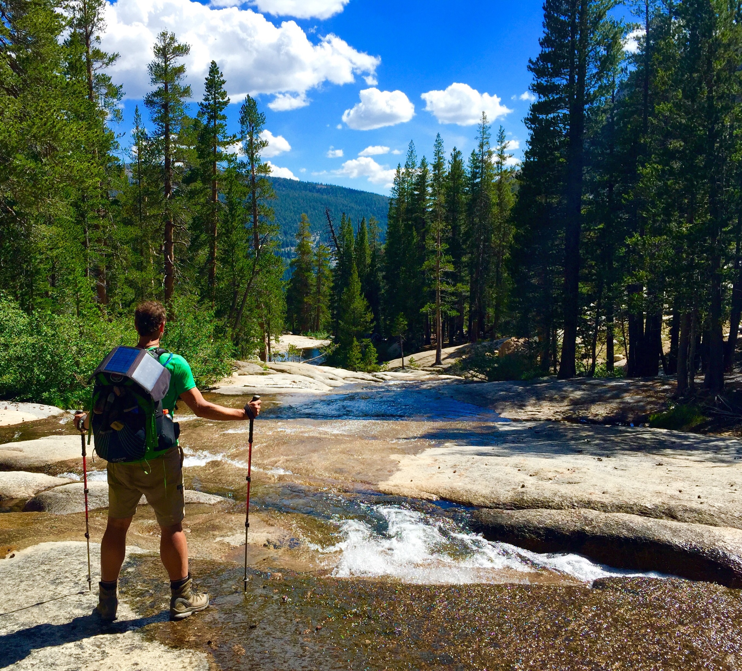
Jason getting water from Bridalveil Creek next to our first night's campsite.
A few miles later and we found ourselves at Taft Point, known for the Fissures, Dinosaur Eggs and stunning cliffs and views. This was the largest 'point' that we had encountered, having lots of frontage along the cliff. There was so much space to run around and explore that we started to lose each other while taking pictures.

The fissures with the dinosaur eggs at Taft Point.
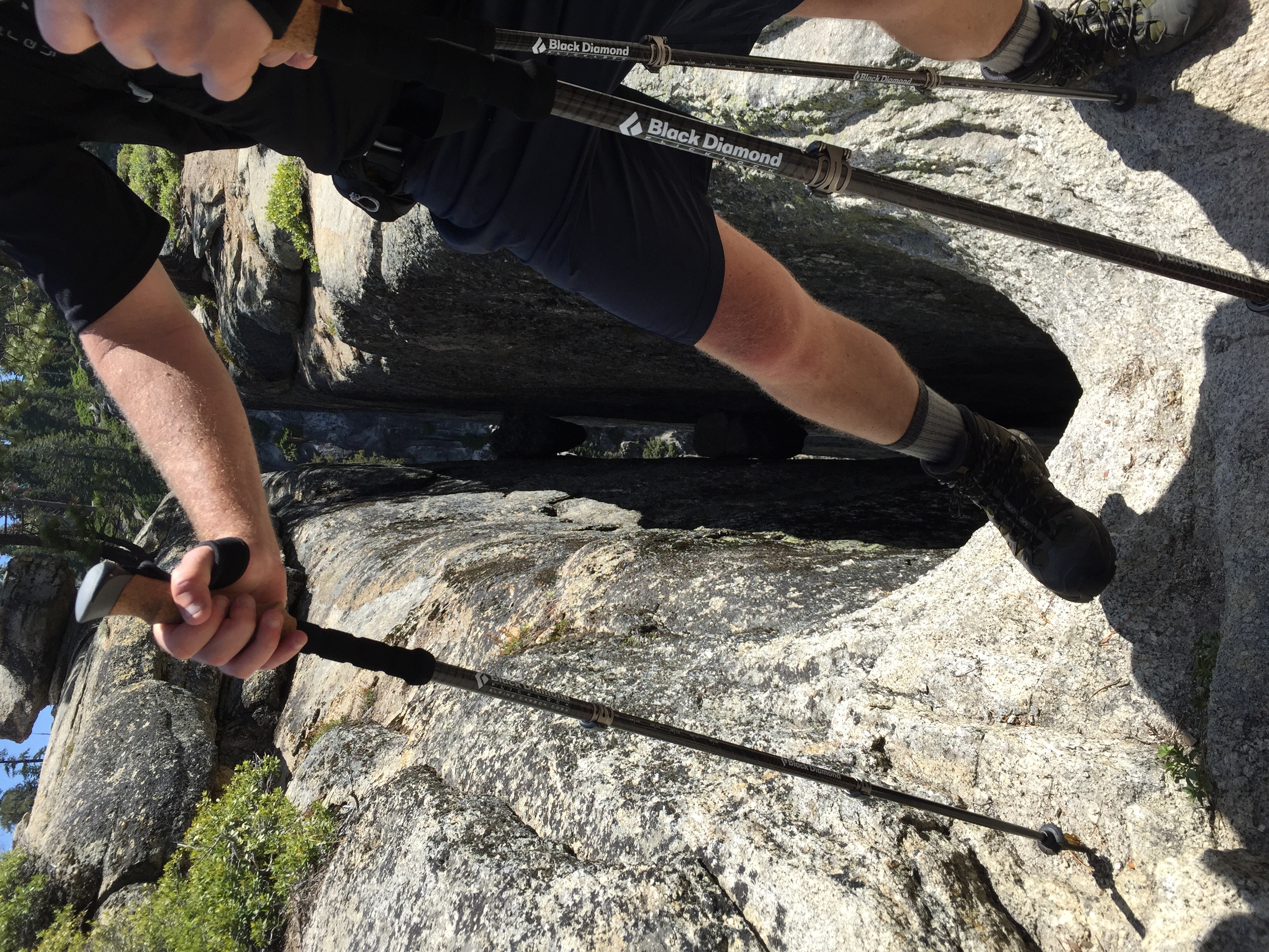
Tyler getting wayyyy to close to the edge of the fissure.
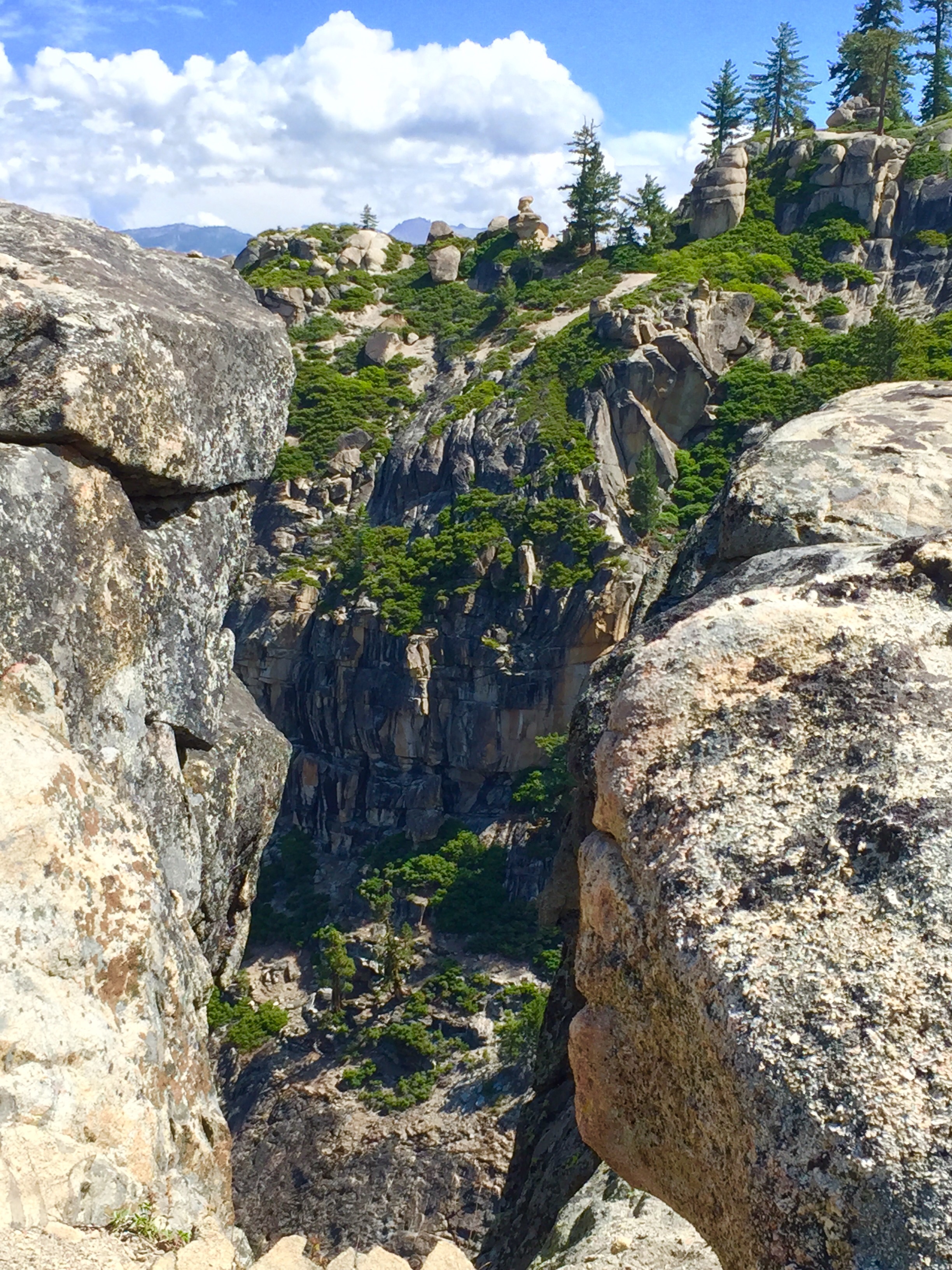
That's about as close as I ever got to the edge. And this was too close. Looking east on Taft Point.

Tyler Jason and Lindsay, Taft Point. These guys are seriously crazy.

I couldn't watch Tyler sitting on this ledge.
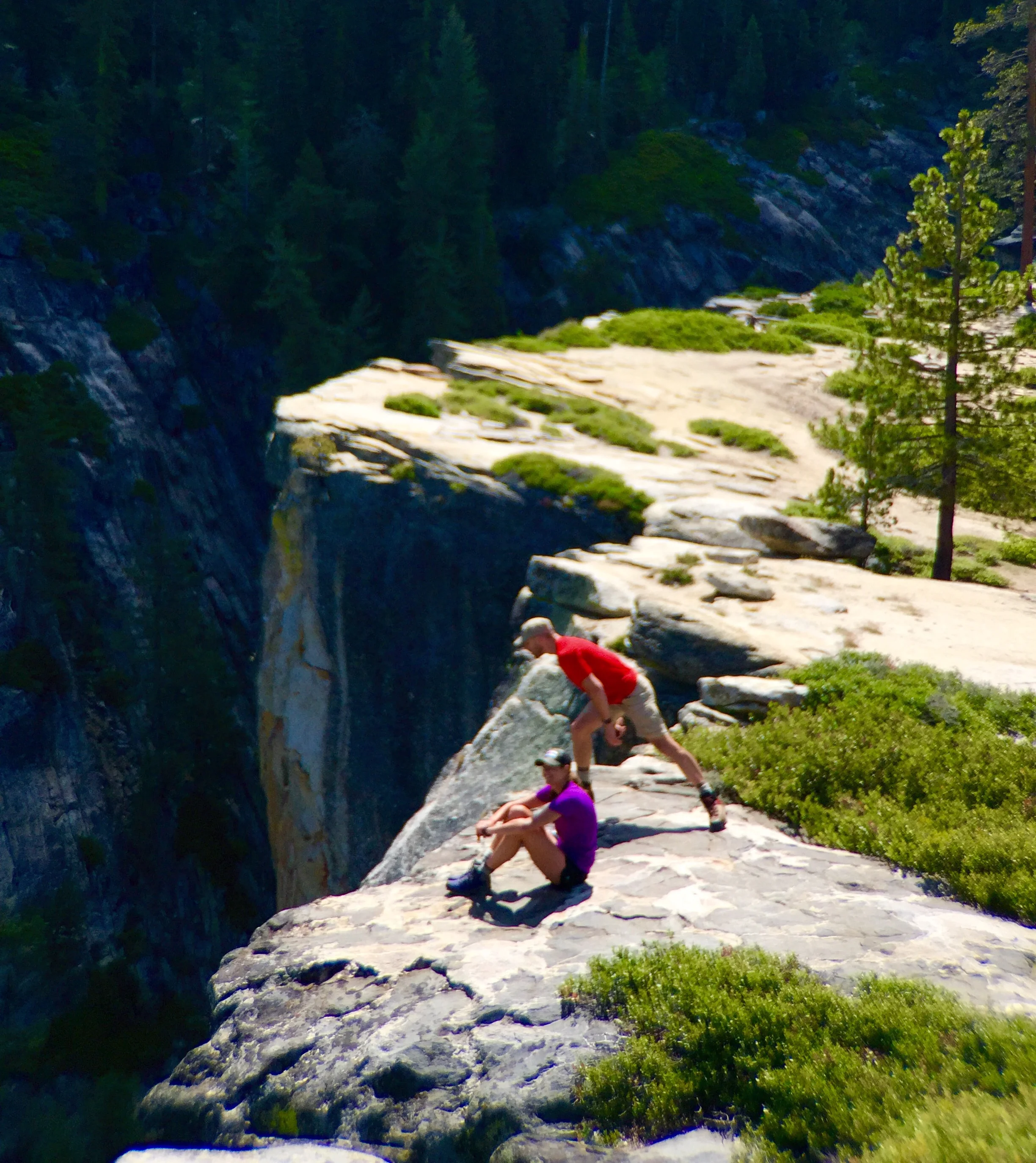
Lindsay and Jason enjoying getting closer to the edge. Just looking at this picture makes my head spin.

Gus, smartly eating his snack. He was always really good about eating to keep up his energy. I hated eating during the day so I suffered.

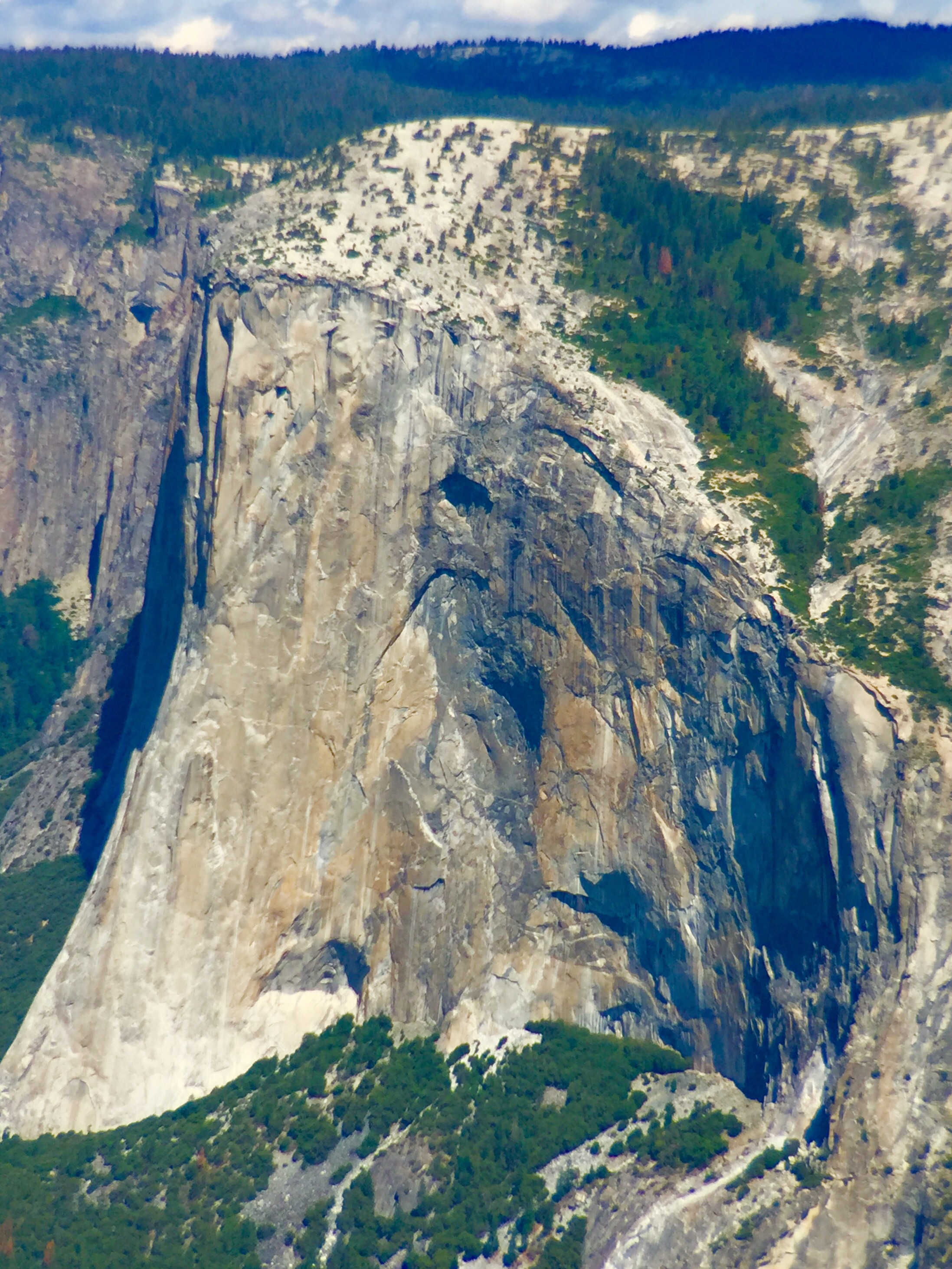
El Capitan

It's cute that Tyler and Jason had matching hats with special built-in flaps to shield their ears and neck from the harsh High Sierra sun. My hat had jack squat.

Gus watches as Katherine hangs on for the view.

Great perspective of Yosemite Falls, 2,500' of falling water. Amazing. 3 more weeks later and it would be dry.
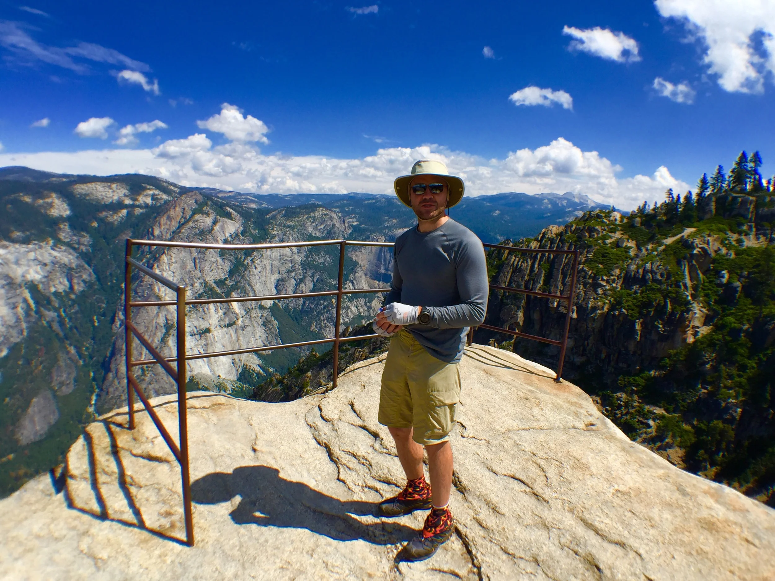
Looking East, Taft Point.
I ended up being very envious of Gus' hat. It provided fantastic coverage and it looked great on him. Mine had minimal coverage, was black so it attracted the sun, and looked horrible. It was a stupid choice, despite that it could fold and be stuffed in a pocket and that it weighed less than a napkin. At least a napkin would cover my neck.
I should have brought a napkin.

El Capitan, squared.

Trying to look calm on the edge of the cliff, Taft Point.

Gus and I on Taft Point.

Gus does his 'DiCaprio on the bow of the Titanic' impersonation.

Jason vs pine tree, Taft Point. Jason clearly won.
While exploring Taft Point I came across some writing on the rock by a ledge. It looked to be made with molten metal in order to make it permanent. A picture of the inscription is below, but it is a bit hard to read. It says "FLY FREE" and I learned that it was a memorial to Dean Potter.
Dean was a world renown and controversial rock climber and BASE jumper. He was known for jumping off the sides of cliffs in wing suits that would allow him to glide down very fast, using a parachute to break the rate of descent and to land. Since he had been climbing in Yosemite for years he often he also did this wing suit stunt there because of the high, sheer cliffs. Earlier this summer he launched himself from this very spot aiming to fly through a notch in a ridge 1/3 of the way down. He mis-judged it and was killed instantly along with his buddy Graham Hunt who was following his lead: more here.

Dean Potter memorial on the spot that he launched and died from in a wing suit accident on Taft Point.

You can see the notch that Dean aimed for from by my left ear.
We killed at least 40 minutes at this spot taking pictures. Kind of a long time, but at this point we were not terribly efficient with our breaks. I knew that if we kept this up we would be rolling into camp way too late which cuts into not only downtime in camp, but morale. What I didn't realize is that with my inexperience with long treks in groups, I had unknowingly planned this trip with too many miles/day and we would be constantly at an in-camp down time deficit.
Since we had about 12 more miles to hike we hit the trail, with our next stop at Glacier Point.

I captured this father-son duo using a giant fallen lodgepole as a bench.
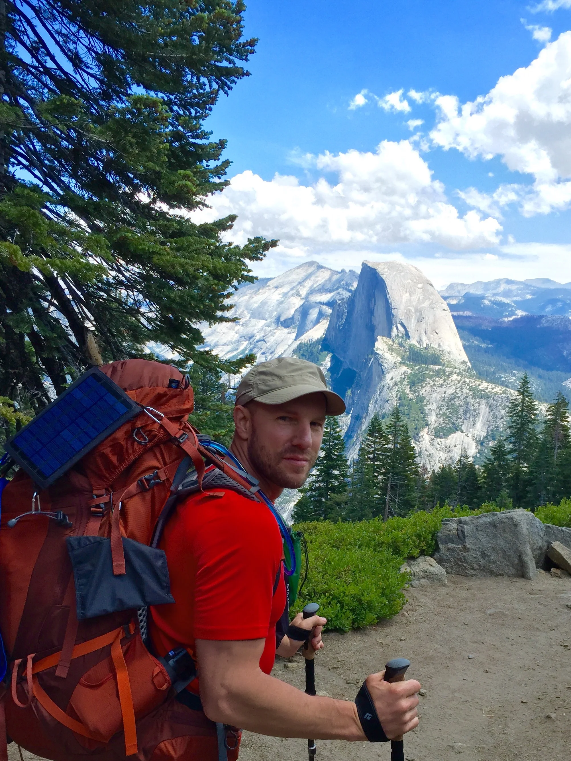
Jason with Half Dome in the background right before glacier point..

It was such a nice view we decided to have a group pic using the 'StickPic' which turned your trekking pole into a selfie stick.

This was really a gorgeous trail.
Glacier Point is a fairly popular destination with tour buses and, we were happy to find, real bathrooms and a store that sold food!
We trashed our trail lunches and got "real" food in the store. I wanted one of their hot dogs so badly but they couldn't sell them because they weren't fully cooked. I wanted one so badly that I promised not to sue if I got ringworm. They were intransigent. I settled for ham and cheese on pita. I had this weird craving for mayo so I slathered 6 packets on this nasty sandwich that I never would have touched. The sad thing was we had barely been out a day and a half and I already couldn't stand my trail food.
I also took some flimsy plastic spoons to replace my spork. I tested one and it broke pretty easily so I didn't have too much hope for them. On a whim I asked the cashier over in the gift shop if they sold sporks. She rolled her eyes and pointed to a tub of them at her elbow.
I got one in bright orange - the better to not lose it. As I later learned: I should have gotten two...

Jason and Katherine packing, repacking at Glacier Point. See their socks drying out on the rock. Always washing, always drying, these two.

Glacier point has a massive firepit and stone stadium seating - I assume they do some events up there at dusk, but the real show is the backdrop.

Sorry, I can't resist posting these Half Dome pics. i couldn't have asked for better light and compostion.

From L. to R.: Half Dome, Liberty Cap, Nevada Falls. We would be crossing Nevada Falls a few hours from now.
The typical JMT start doesn't get any of these views of iconic features of Yosemite Valley from these high points. While we had to start further west which added miles, looking back I am happy with the choice, even though it made for a really hard second day on the trail.
At the bottom of the Panorama Trail, coming across the bridge over Illouette falls.
My socks were wet with sweat and I decided to change them under the bridge. So did a couple others including Gus and Lindsay who were both feeling blisters come on. Lindsay had also been complaining about her shoulder straps and was in a fair amount of pain. It was early in the trek, but gremlins were already rearing their heads. Changing our socks was a good idea and while I wish I did it more often on the trail, I experienced minimal blister agitation.
Our second serious climb of the trip came right after the bridge crossing and it was exposed, rocky and hot. It wore us down. It was a feeling we were going to have to get used to.

Not very safe
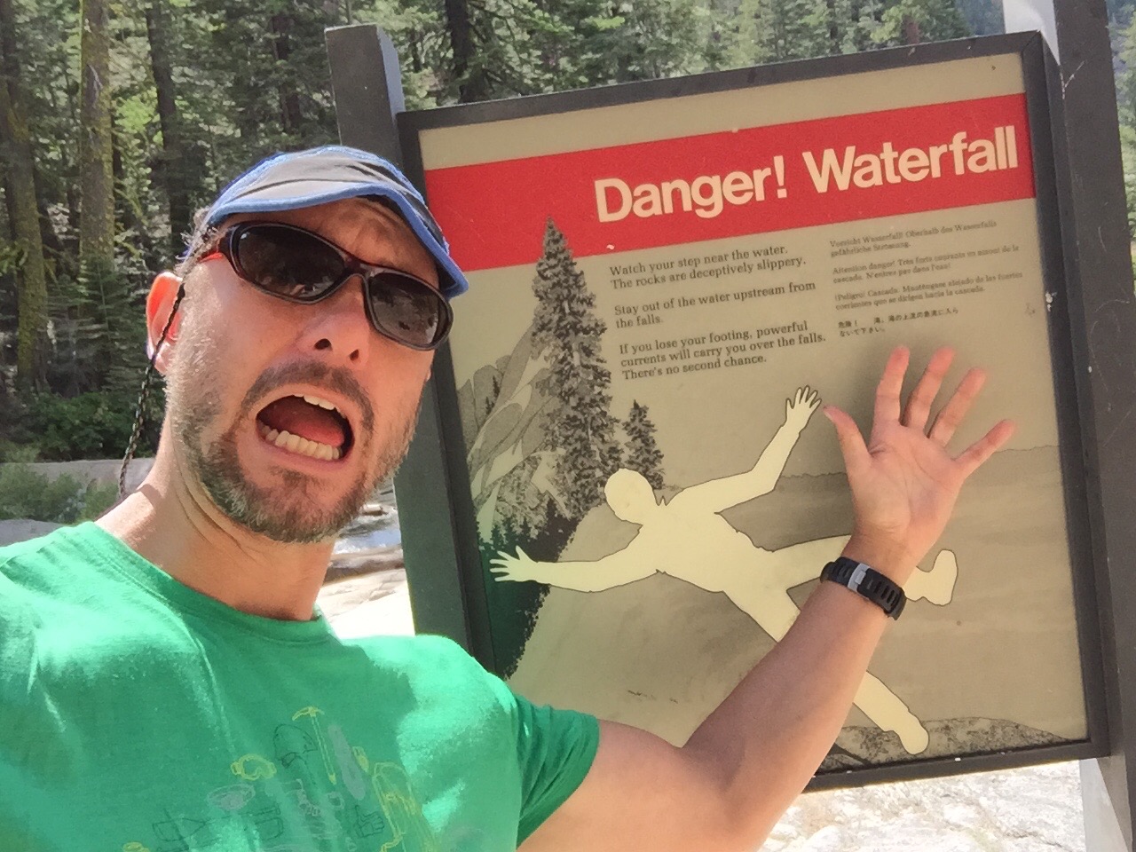
Not very funny

Baby black bear, Yosemite
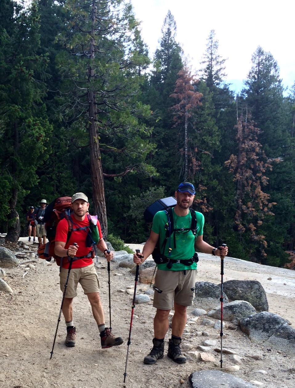
We literally stumbled into this blond baby black bear while just about to join up with the official JMT on the Mist Trail. It was about the size of a large Springer Spaniel. We took our photos and quickly left in case mama bear returned.
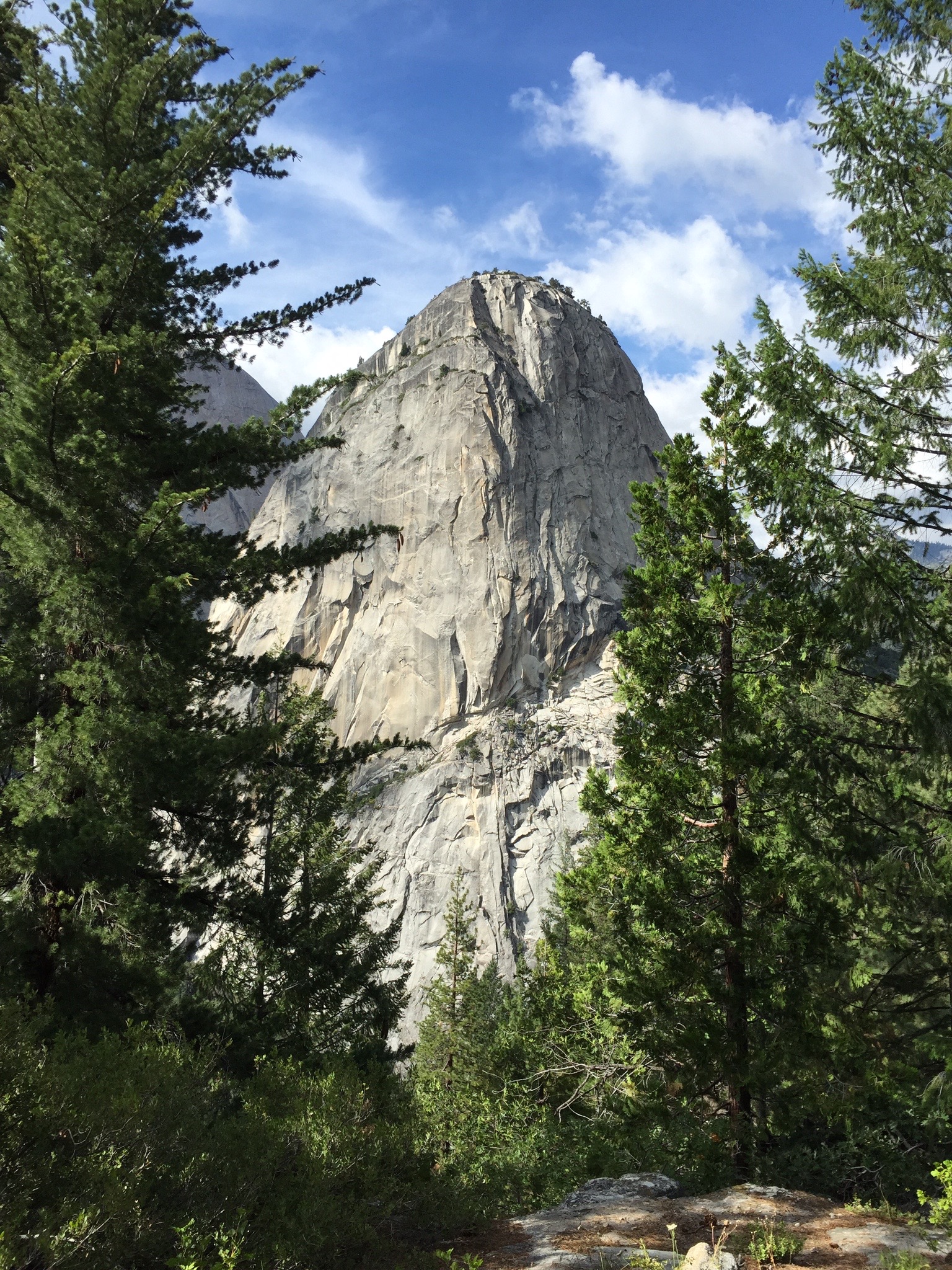
Beautiful Libety Cap heralding our approach to Nevada Falls.
This part of the JMT is very popular with day hikers, mostly young kids in sneakers eating chips and wearing Abercrombie t-shirts and flat-brimmed baseball hats. Despite that we finally felt that we were on the John Muir Trail when we started to run into other backpackers with fresh looking gear and wide expectant eyes - much like us.
Just coming up to Liberty Cap. I hate my cap.
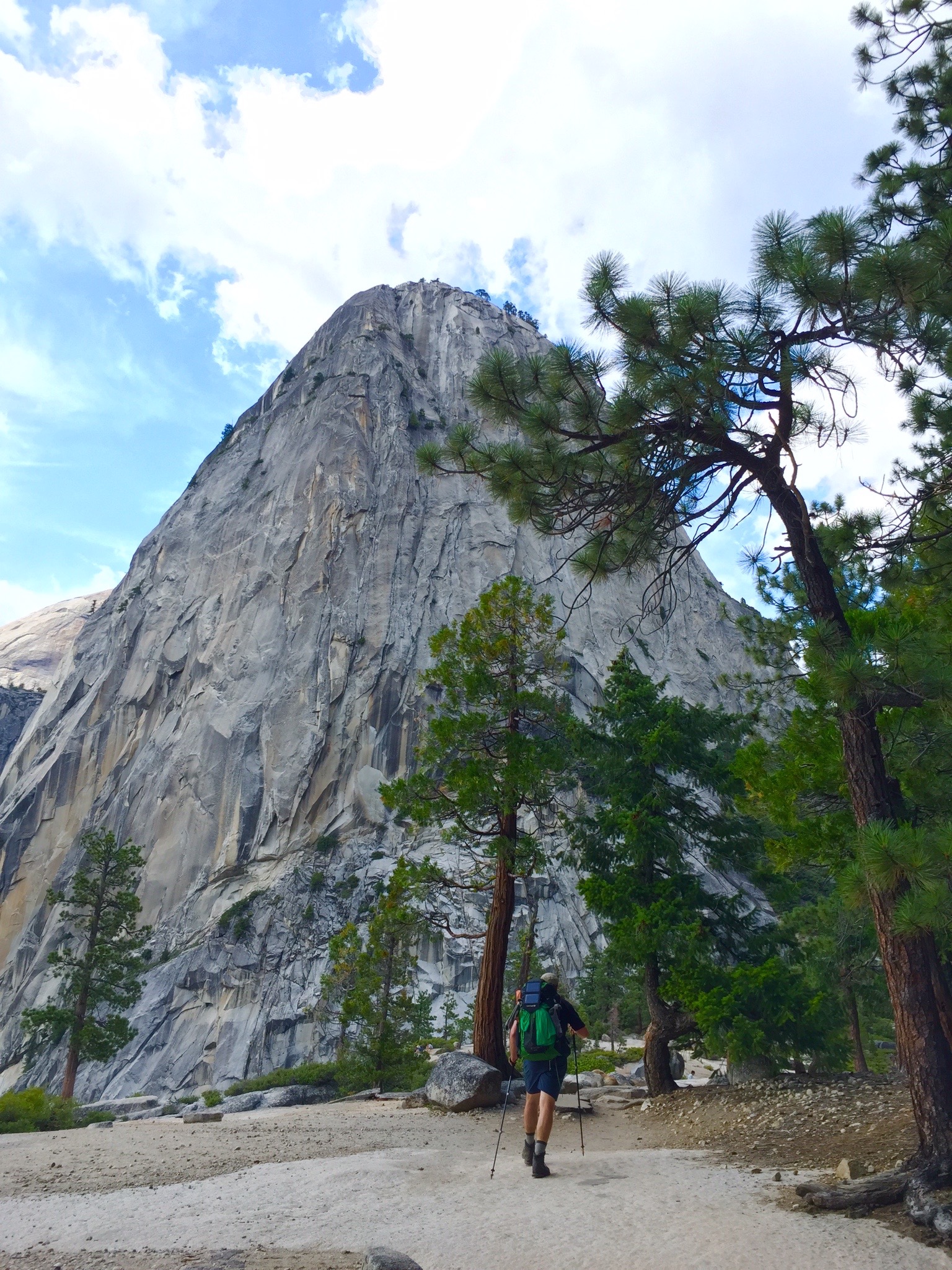
Liberty Cap and Tyler E.
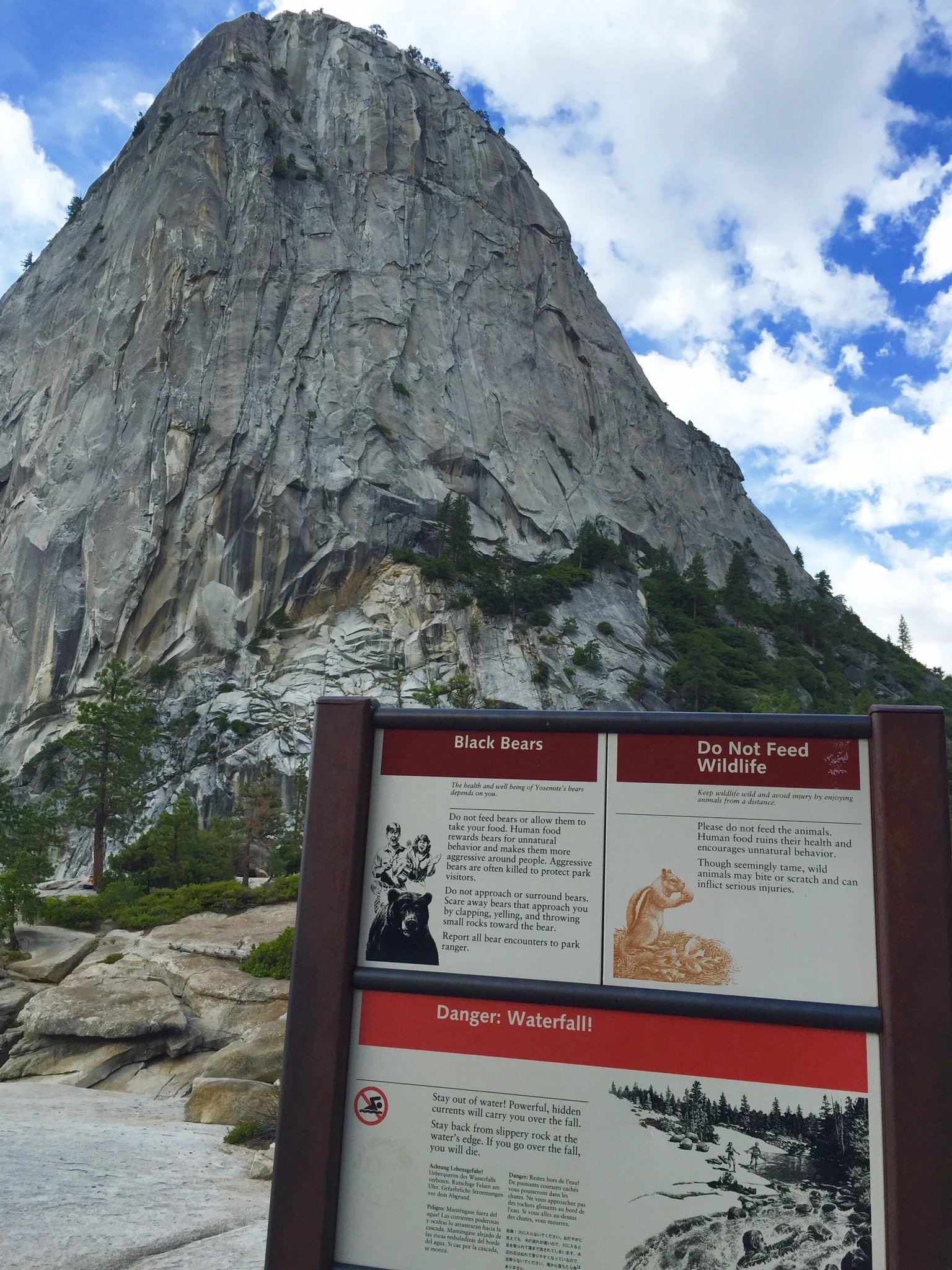
I loved reading these signs because the pictures are often hilarious. Check out the couple in the upper left with the bear.

Nevada Falls taken from the top. Here is where I learned that taking pictures at the top of waterfalls doesn't work.
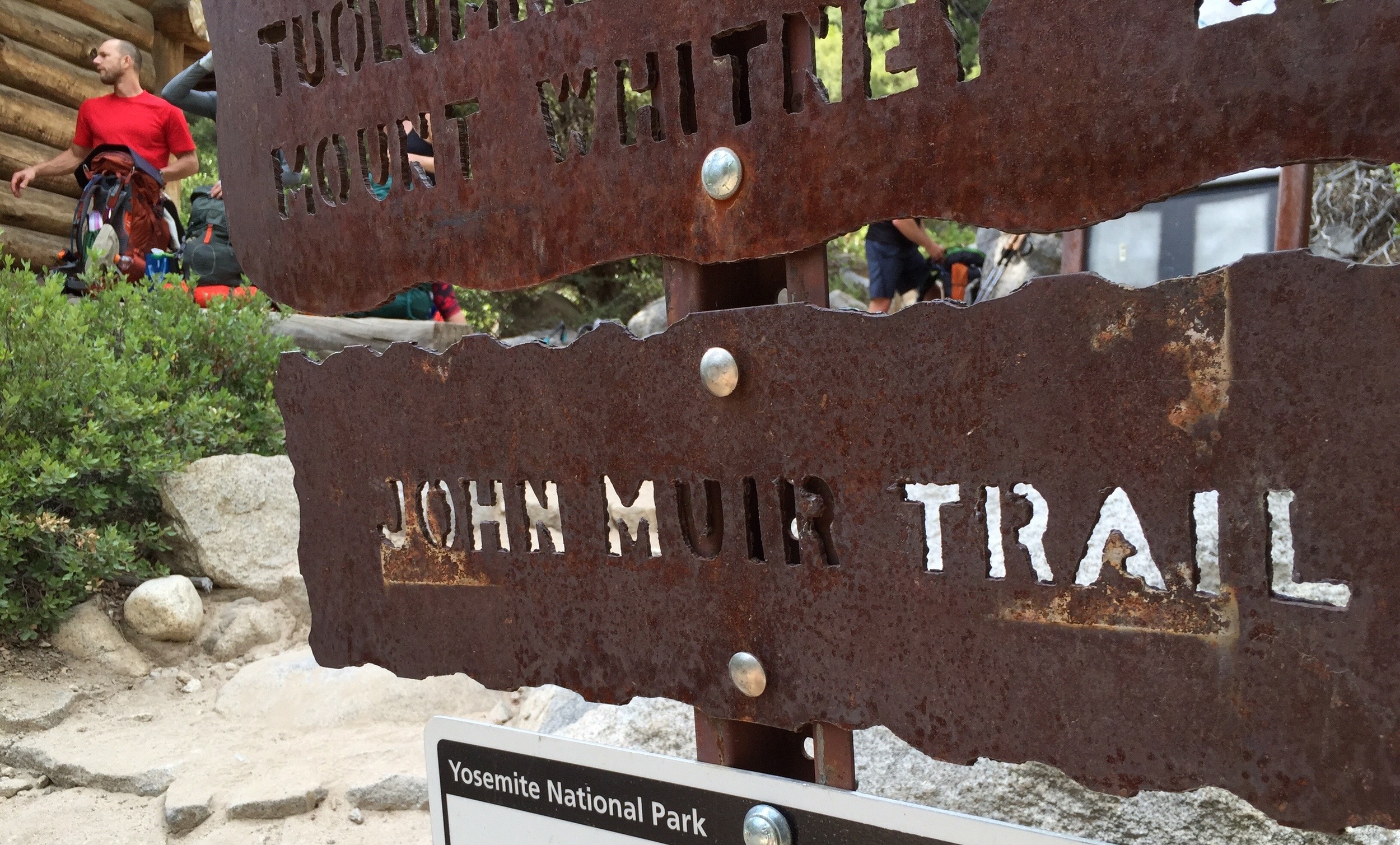
Even though I knew we were on the JMT, seeing it in writing got me excited. Jason is in the background waiting for Tyler to exit the outhouse.

Only 215 more miles to go. There's Tyler in the background after emerging from the outhouse.
The last stretch of the day was mostly climbing.
Our goal was to get just under Clouds Rest peak but it was getting late and we were already 13 miles in and feeling beat up. I had a plan to get to the junction before the Clouds Rest trail and see how we felt about what looked like a steep climb to some possible camping spots below the peak. Cloud's Rest is not part of the official JMT route, but it parallels it while affording an epic view east-to-west of the valley.
For a while the trail was a rocky staircase up the Merced river until it veered up another steep climb to the Half Dome junction. We had decided beforehand to bail on ascending Half Dome. It's generally a big ticket for day hikers but is known to be a crowded "conga" line during our peak season of July. Plus I get vertigo, which is a bit of a handicap if you like trekking up and down mountains. We happily trudged by and finally made it to the Clouds Rest junction.
It was 1/2 hour until sunset and didn't want to pitch camp in the dark so we made the call as a group to find a campsite.
I plowed ahead to scout for suitable campsites for 4 tents. One revealed itself close down by Sunrise Creek, complete with a fire ring, but when we judged it too buggy. I dropped my pack and scrambled up a large hill of granite looking for something better and was able to find a fairly level area in a loose copse of lodgepoles with a pleasant outlook, a stream and...no bugs! It also had a fire ring which, you can see, we happily put to good use. Some of us washed off in the stream - Tyler did a full Japanese all-body soak in this muddy, buggy-looking pool in the stream. This became one of his signature moves - full body soaks in various bodies of freezing mountain water.
Gus and I set up our tents a bit away from Katherine and Jason and Tyler and Lindsay's. It took me longer to do my chores and set up camp than I would have liked, but a pleasant surprise greeted my nose and following it revealed a roaring campfire by Tyler & Lindsay's tent.

Camp, just beyond Cloud's Rest Jct.
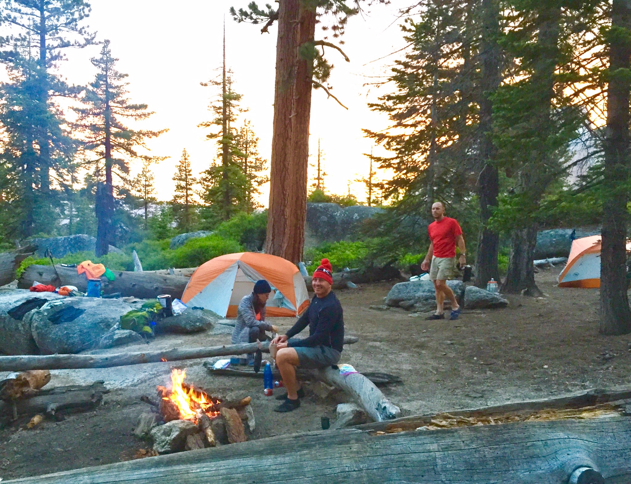
We were lucky to find this campsite. Comfy logs, a fire pit, level and close to water - oh - and a view of Half Dome.
We ended our night too exhausted to be proud, but we should have been.
We hiked 15 miles and had done 4,000' of ascent and 3,500' of descent - up the height of 4 Empire State Buildings and down 3.5. It was only our second day.
Still, better to not get cocky. We had some whammys coming up....

Half Dome, sunset, as seen from our campsite.
Sierra Mapper's topo of our day's route.
Sierra Mapper's elevation profile of our day's route.